The Lagoon House is open to the public by appointment only.
Call us at 321-725-7775 to request an appointment.

What Is the Muck Finders Program?

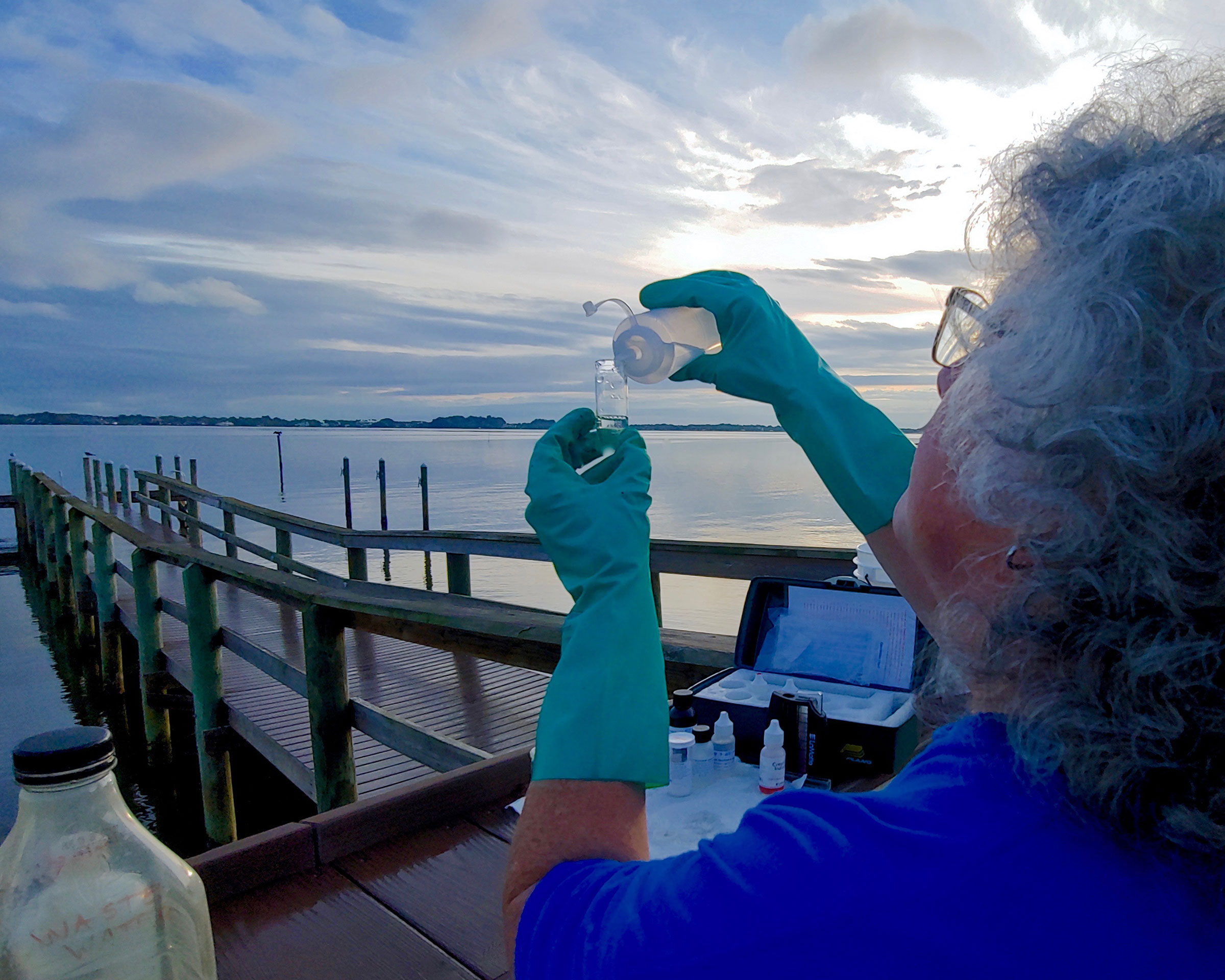
In 2017, Marine Resources Council, Brevard County Natural Resources Management, and Brevard County citizens teamed up to assist muck management actions in the Indian River Lagoon. Volunteer citizen scientists (Muck Finders) were trained and equipped to verify the presence and depth of muck in targeted areas throughout the IRL.

Brevard County’s Save Our Indian River Lagoon (SOIRL) Project Plan is projected to raise over $500 million over its lifespan. The data collected by the Muck Finders program helped ensure that muck removal efforts were as strategic and efficient as possible in several locations in the lagoon.

To learn more about Brevard SOIRL plan, click here.
Muck finders checking depths

Why is muck an issue in the IRL?

The Indian River Lagoon was once a sandy-bottom estuary, with a modest accumulation of organic detritus from shoreline and aquatic vegetation loss. The bottom of the lagoon is now covered in a layer of fine silt and sediment called “muck” which has accumulated over years of excess sedimentation. Silt, sediment, and other fine particles carried in by tributaries, canals, and storm drains accumulate and break down on the bottom, forming thick black ooze.

Muck has built up in channels and deep pockets where it has reached depths of up to 15 feet! The muck is a problem as it increases turbidity, depletes oxygen, stores and releases nutrients, and smothers seagrass and other bottom-dwelling critters.

Muck Finders Muck Thickness Maps

Muck Finders Muck Thickness Maps: Sykes Creek and Newfound Harbor, FL, 2017
Muck Finders Muck Thickness Maps: Area NH1, Newfound Harbor, FL, 2017
Muck Finders Muck Thickness Maps: Area BR1, South Banana River, FL 2017